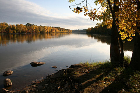
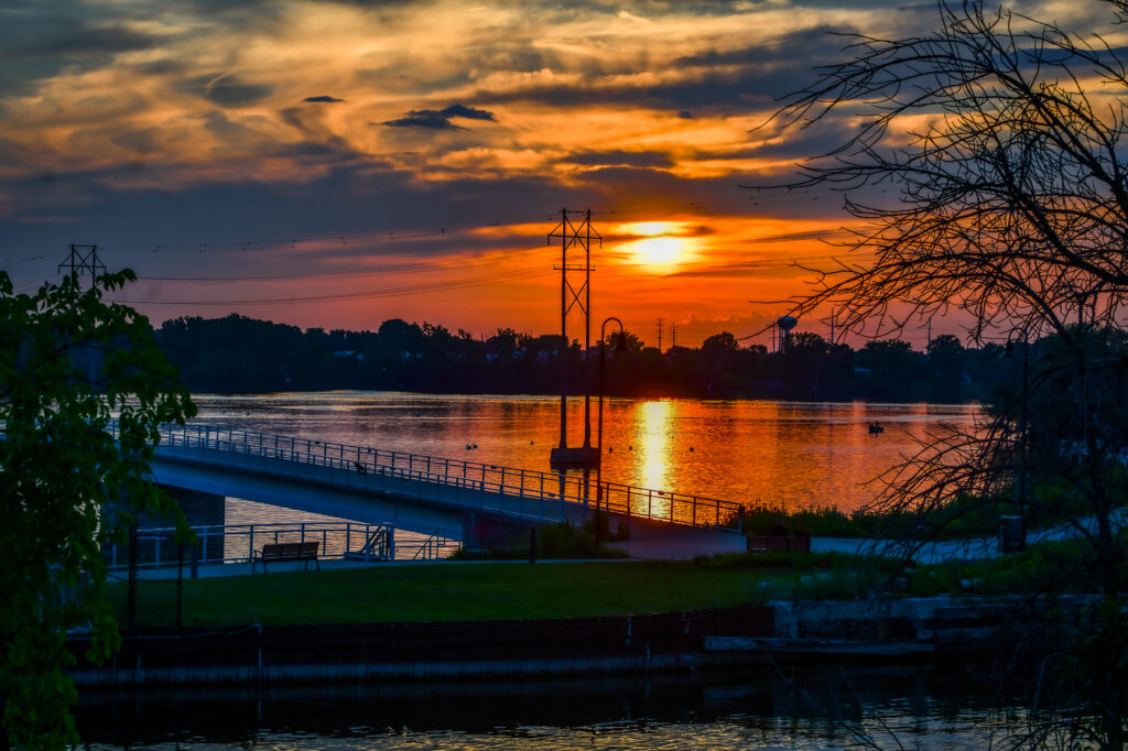
Friends of the Fox would like you to enjoy the many waterways the Fox River and Lake Winnebago system offer. We have compiled links of the Lower Fox River and Lake Winnebago system for your boating pleasure. Under each heading is a basic description of the area the waterway is located and some of the parks, harbors and points of interest located in those waterways.

Lake Winnebago and Lower Fox River Navigational charts & maps
- Little Lake Butte Des Morts to Lake Winnebago
- Little Lake Butte Des Morts
- Appleton
- Kaukauna to Combined Locks
- De Pere to the mouth of Green Bay - Needs Link
- Crawford County to Prairie de Chien
- Prairie de Chien
- WDNR Wisconsin Lakes Book
Upper Fox River Navigational Charts
Upper Fox River Navigational charts are scarce. When we do locate some useful sources, we will be happy to post them on our website for you to use.
For further information please check the U.S. Army Corps of Engineers Website
Meanwhile if any of you boaters might know of some valuable navigational charts, please feel free to email us and let us know.